More Information
[email protected]
+86 28 8503 0959
Mon - Fri 9.00 - 18.00
K2(Chogori, Chhogori, Qogir) Hiking Trekking Climbing Mountaineering Travel Tour
Introduction of K2(Chogori, Chhogori, Qogir or Ketu Peak)
chinese Name: 乔戈里峰
Longitude: 76.513252
Latitude: 35.881296
Altitude: 8611
Climbing Season: spring and autumn
Address: the border between Yecheng County in Xinjiang Uygur Autonomous Region and Pakistan-controlled Kashmir
Introduction of K2(Chogori, Chhogori, Qogir or Ketu Peak)
With the altitude of 8611 meters, K2(Chogori, Chhogori, Qogir or Ketu Peak) is the second highest mountain in the world, also known as K2. “K” means Karakoram Kunshan Range, and “2” means that it was the 2nd mountain explored by the expedition on Karakoram Range. It is located in the middle of the Karakoram Kunshan Range, bordering the Territory of Yecheng County in Xinjiang Uygur Autonomous Region and Kashmir region under the actual control of Pakistan. The geographical coordinates of east longitude is76.5 degrees and north latitude is 35.9 degrees. There are six ridges on Karakoram Kunshan Range, and the northwest to southeast ridge is the main ridge line, which, meanwhile, is the national boundary between China and Pakistan. Also there are North Ridge, West Ridge and Northwest Ridge. The peak is like the pyramid, and the ice cliffs are steep, as well as mountains. The steep slope wall is covered with traces of avalanche chute. At the top of the mountain there is a large area of slight ice slope rising from north to south. The northern Karakoram Kunshan Range is like a sliced ax, with an average gradient of more than 45 degrees. From the north-side Camp Site to the summit, the vertical elevation is as high as 4700 meters, which is regarded as the mountain with the largest vertical elevation of the world’s peaks over 8,000. The glacier on the north side is called K2(Chogori, Chhogori, Qogir or Ketu Peak) glacier, and the terrain is very complex. The surface of the glacier is shattered, with the light and shade ice cracks in a criss-cross pattern. The west side of the glacier is steep valley and rock, with rolling stones, avalanches and avalanche happening frequently. On both sides of K2(Chogori, Chhogori, Qogir or Ketu Peak), here stand Yinsugaiti glaciers stretching up to 44 km.
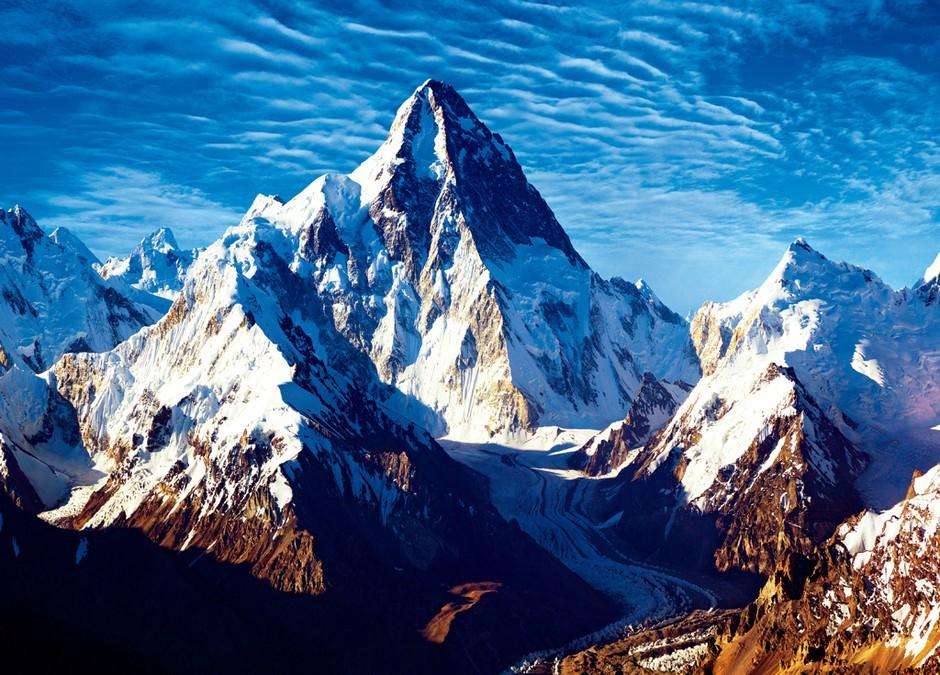
Climate Condition of K2(Chogori, Chhogori, Qogir or Ketu Peak)
The terrain of K2(Chogori, Chhogori, Qogir or Ketu Peak) region is not only treacherous, but the climate is very bad. From May to September each year, this period is rainy season, caused by the warm and moist air brought by the southwest monsoon. From the mid-September to mid-April the following year, the strong westerly winds and cold bring harsh winter. The Minimum temperature on the peak can reach up to -50 degrees, the maximum wind speed up to over 5 m / sec, so the summit is weather restricted area of climbing. During the period from May to September, due to the snow melting and the temperature dropping, usually the valley water surges badly and it is difficult for climbing the mountain. The best time to climb is from May to early June. Though the valley water surges, it is not very serious. From July to September, the temperature on the peak goes up little and there are more sunny days, so it is the good time to climb the mountain.
There are always blowing wind of more than level 8 on the altitude of more than 7000 meters, wind speed 60 kilometers per hour or more, sometimes reaching 25 meters a second, the snow continuing for four or five days and the lowest temperature of -50 degrees. The summit of the mountain is covered by strong haze all year round.
Travelling Route to K2(Chogori, Chhogori, Qogir or Ketu Peak)
K2(Chogori, Chhogori, Qogir or Ketu Peak) mountain route is currently the longest one open to the public in China. Tourists can take a bus from the southern city of Yecheng County along the Tibetan highway to Mazar, and arrive at Ma Zha Dala along the rough road by 25 km. From here tourists begin walk and reach K2(Chogori, Chhogori, Qogir or Ketu Peak) Camp Site (Yinhong Beach at the altitude of 3924 meters) for six days around 90 km. This section needs tourist to climb into Keleqing Valley by a plunk from Agele at the altitude of 4800 meters. Tourist should avoid the surfing water in Keleqing Valley in July or August because both man and cattle cannot pass it through the plank due to the surging water.
Climbing History of of K2(Chogori, Chhogori, Qogir or Ketu Peak)
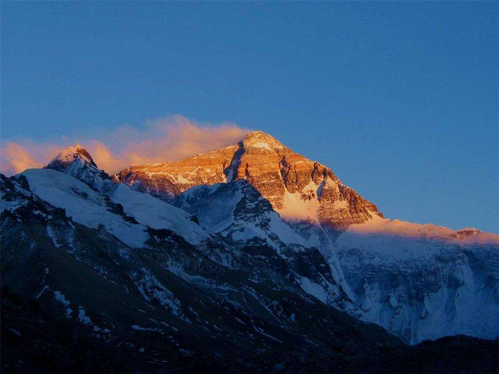
Statistics show that someone has already reached the summit in 1881. In 1902, the climbing team from the UK failed to climb the summit. After that, they have climbed the mountain several times during the 51 years, but all failed. On July 31, 1954, Italian climbers, Giorno Le • Laqiejieli and Kang Biao di took 100 days to succeed in climbing to the summit along the Southeast Ridge from Pakistan. On August 4, 1982, K2(Chogori, Chhogori, Qogir or Ketu Peak) Climbing Team from Japanese Mountaineering Association succeeded in climbing to the summit along the North Ridge from the northern slope in the territory of China. Since then, climbing teams from Italy, Yokohama in Japan and America finished the summit climbing from the mountain side in China one after another. Anaerobic world-famous mountaineer, American Indian MengKe Clive Jason Kidd, without his oxygen bottle, crossed the 6500 m climbing dead line several times and eventually stepped on the peak of K2(Chogori, Chhogori, Qogir or Ketu Peak), the world’s second highest mountain. This feat was recorded into Guinness Book of Records in 1993. Climbing to the summit of K2(Chogori, Chhogori, Qogir or Ketu Peak) without oxygen bottles is the common wish of many European and American mountaineers, nevertheless, since the successful record in 1881 there is no one having been climbing to the summit of K2(Chogori, Chhogori, Qogir or Ketu Peak) without oxygen bottles over the past 100 years.
Climbing Route of K2(Chogori, Chhogori, Qogir or Ketu Peak)
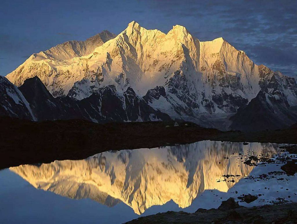
K2(Chogori, Chhogori, Qogir or Ketu Peak) mountain route is currently the longest one open to the public in China. Tourists can take a bus from the southern city of Yecheng County along the Tibetan highway to Mazar, and arrive at Ma Zha Dala along the rough road by 25 km. From here tourists begin walk and reach K2(Chogori, Chhogori, Qogir or Ketu Peak) Camp Site (Yinhong Beach at the altitude of 3924 meters) for six days around 90 km. This section needs tourist to climb into Keleqing Valley by a plunk from Agele at the altitude of 4800 meters. Tourist should avoid the surfing water in Keleqing Valley in July or August because both man and cattle cannot pass it through the plank due to the surging water. In 1902, at the first time the climbing team from the UK climbed K2(Chogori, Chhogori, Qogir or Ketu Peak), but failed. After that, over the past 50 years, many climbers tried many climbing route many times but all failed. Till on July 31, Italian climbers, Giorno Le • Laqiejieli and Kang Biao di took 100 days to succeed in climbing to the summit along the Southeast Ridge from Pakistan. In 1976 and 1977, China Mountaineering Association organized a group to explore the route of northern K2(Chogori, Chhogori, Qogir or Ketu Peak) twice. On August 4, 1982, K2(Chogori, Chhogori, Qogir or Ketu Peak) Climbing Team from Japanese Mountaineering Association climbed to the summit along the North Ridge at the first time. After that, climbing teams from Italy, Yokohama in Japan and America successfully finished the summit climbing from the mountain side in China one after another.
-
DepartureYecheng
-
Departure Timeconfirmed with travel adviser
-
Return Timeconfirmed with travel adviser
-
IncludedDomestic airfares, TrainsHotel accommodation with breakfastsMeals mentioned in the itineraryProfessional English-speaking guidesDrivers & air-conditioned vehiclesEntrance fees to tourist sites
-
Not IncludedInternational airfaresEntry Visa feesPersonal expensesTips or gratuities for guides and drivers
Similar Tours
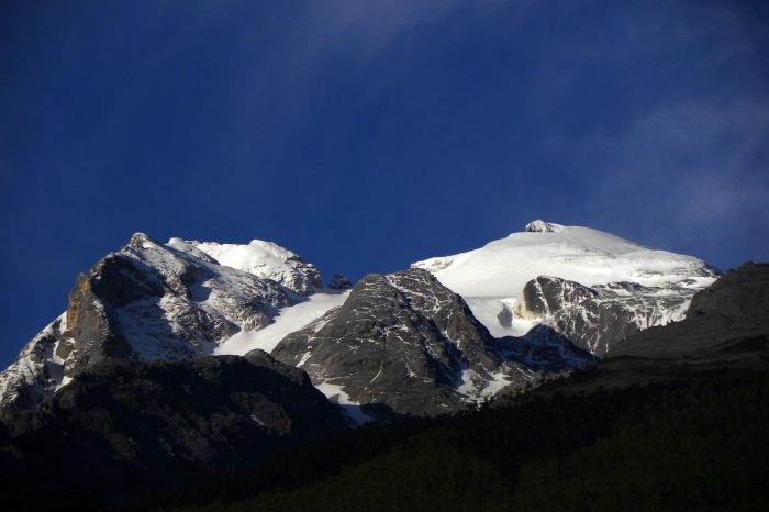
Haba Snow Mountain Hiking Trekking Climbing Mountaineering Travel Tour
trekking & hiking in yunnan province
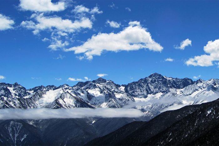
Erfeng Peak of Mount Siguniang Hiking Trekking Climbing Mountaineering Travel Tour
peak of the second sister between Four Girls Mountain” or “Four Sisters Mountain in sichuan
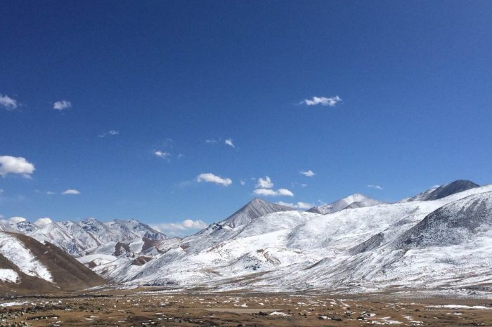
Qiongmugangri Peak Hiking Trekking Climbing Mountaineering Travel Tour
7048 M above sea level, belonging to Nyainqentanglha Range


