More Information
[email protected]
+86 28 8503 0959
Mon - Fri 9.00 - 18.00
Mount Xuebaoding Hiking Trekking Climbing Mountaineering Travel Tour
Introduction of Mount Xuebaoding
Longitude: 103.8
Chinese Name: 雪宝顶
Latitude: 32.7
Altitude: 5588
Climbing Season: spring or summer
Address: Songpan County of Aba Prefecture in Sichuan province
Introduction of Mount Xuebaoding
Mount Xuebaoding, 5588 M above sea level, 103.8 degrees of east longitude, 32.7 degrees of north latitude, located at southern Mount Min of south-north direction in Songpan County of Aba Tibetan Prefecture, is the highest peak of Mount Min. The main peak of Mount Min, Mount Xuebaoding, is one of seven god mountains of Bon religion in Tibetan area, 5588 M above sea level, which means “Summer sun or Winter sun” in Tibetan, also known as Eastern Conch Hill.
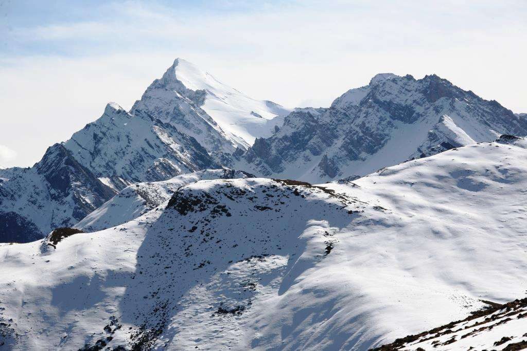
Mount Xuebaoding is surrounded by many high peaks. The main peak in south west is Wei Peak and Hosta Peak, 5119 M; in south east, Sigenxiang Peak with the altitude of 5359 M and Little Xuebaoding Peak of 5440 M. The four peaks are different from each other. The zone below the altitude of 5000 M of Xuebaoding is mainly constituted by rock. Above 5000 M, there is a saddle between Xuebaoding and Sigenxiang Peak, with the slope of around 30 degrees. The section from the saddle to the summit is the icy snow slope of around 20 degrees. On southwest ridge of Xuebaoding, there are icy snow slopes of 20 degrees to 25 degrees below 5000 M. in west, due to the cutting of glaciers, there developed into sharp rocks, edges and ridges; mainly bare rocks and steep cliffs in northwest.
Climate Condition of Mount Xuebaoding
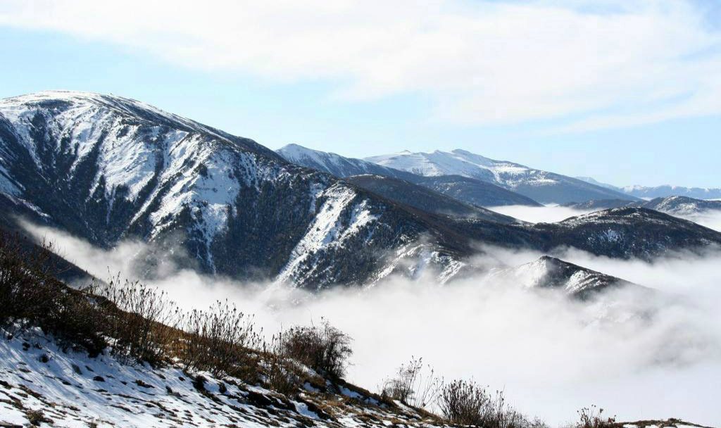
The climate in Xuebaoding area is humid and rainy. The dry season is from October to April next year, and rainy season from May to September, from which there is less rainfall in July or August, so it is the ideal season to climb. The altitude of snow line in winter is 4600 M above sea level and 5100 M in summer.
Traveling Route to Mount Xuebaoding
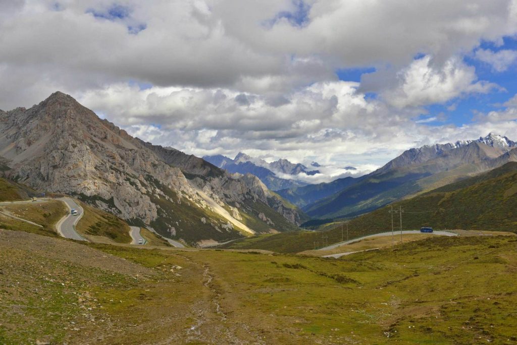
Firstly from Chengdu tourists can take a bus along Min River towards the north, and arrive at Minjiang town after passing by Guan County and Maowen County, more than 300 KM in total. Next they go from Minjiang town to Nami village (3200 M), and walk to the base camp (4200 M), around 8 hours needed in total. Xuebaoding (here “ding” means “顶” in Chinese character) is also called Xuebaoding (here “ding” means “鼎” in Chinese character, and means “tripod” in English. “顶” and “鼎” arehomonymic.). It is called Mount Xuelan (means “Summer sun or Winter sun” in Tibetan) in ancient times, which means Eastern Conch Mountain. Xuebaoding is the highest peak among mountains beside Min River, 5588 M above sea level, located in the boundaries between Dazhai town and Huanglong town, southern Mount Min extending from south to north, 25 KM from eastern Songpan County. The main peak, Xuebaoding, is surrounded by many high peaks, around 10 peaks there of over 5000 M within the area of 20 square meters. There are big Xuebaoding and small Xuebaoding respectively, and usually big Xuebaoding is the main peak.
Climbing History of Mount Xuebaoding
In August, 1986, the united team combined by Sichuan Mountaineering Association and Japanese Himalayan Mountaineering Association firstly reached the summit of Xuebaoding.
1, Ice ridge (5100 M)
The section from ice ridge to the summit is not too steep, with the slope of 25 degrees. Pay attention to keep away from snow eaves at northern ice ridge (better keep distance over 5 M) and be careful to fall down towards south (especially when going down the mountain).
2, Camel ridge (5100 M)
Camel ridge, constituted by camel-like rock projections, the highest vertical drop of about 7 M, steep cliffs at both sides, is the only way to thesummit. Climbers can reach the summit by directly passing over camel ridge, or climbing from the mountain side of camel ridge.
3, C1 on Xuebaoding (5000 M)
Due to the factors of terrain, the camp can only hold few tents (no more than 4 tents). The tents need to be fixed by ropes to prevent from the strong wind. Most of the time the water supply at C1 can be guaranteed by melted water of snow accumulation.
4, Black corridor
Black corridor is a steep gravel slope of 30 to 35 degrees, located at the section below C1. On its sides there are snow accumulation zone, so climbers should be very careful about rolling stones when passing through.
5, Turtle ridge (4200 M) on Xuebaoding
Turtle ridge is a section of small cliff, with water flowing in between, and tourists can climb to the summit bare handed. But climbers need to find another way if carrying too much belongings. Plus, they can alsodetour from a gravel slope at right side of turtle ridge. But this detour route is farther than the original one, if not passing over turtle ridge.
-
Departure Timeconfirmed with travel adviser
-
Return Timeconfirmed with travel adviser
-
IncludedDomestic airfares, TrainsHotel accommodation with breakfastsMeals mentioned in the itineraryProfessional English-speaking guidesDrivers & air-conditioned vehiclesEntrance fees to tourist sites
-
Not IncludedInternational airfaresEntry Visa feesPersonal expensesTips or gratuities for guides and drivers
Similar Tours
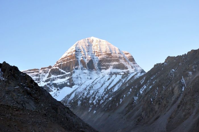
Mt. Kailash(Kailas) Hiking Trekking Climbing Mountaineering Travel Tour
Considered to be sacred in four religions: Bön, Buddhism, Jainism and Hinduism
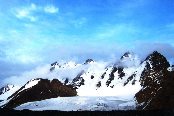
Bogda Peak Hiking Trekking Climbing Mountaineering Travel Tour
Eastern Tianshan Mountains, in Xinjiang Uygur Autonomous Region


