More Information
[email protected]
+86 28 8503 0959
Mon - Fri 9.00 - 18.00
DaFeng (Big Peak) of Siguniang Hiking Trekking Climbing Mountaineering Travel Tour
Introduction of DaFeng (Big Peak) of Mount Siguniang
Longitude: 102.54212
Latitude: 31.03198
Altitude: 5038
Best season to climb: April to December
Address: Xiaojin county of Aba Autonomous region in Sichuan Province
DaFeng (Big Peak) of Mount Siguniang is 5038 meters. From Haizigou of Rilong town to the Peak, the mountain path is about 23.8 kilometers, with the absolute height of over 1800 meters. Along the mountain path, the water supply is sufficient, and the entire route has no dangerous section. Under normal climate: there is seven months of snow period from December to June on the Peak, but there is no snow accumulation from July to November during summer and autumn. As the snow line is shorter and the altitude is comparatively lower than the other majority of the snow-capped peaks, the physical demand is only required to be standard level (with the premise of normal physical condition and no altitude sickness). And the snow technical requirements are not too strict, so DaFeng (Big Peak) of Mount Siguniang is definitely the best place to climb a snow-capped mountain for climbers.
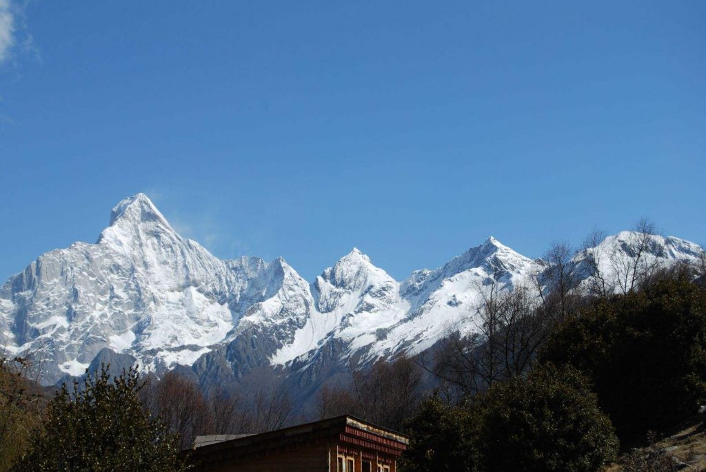
Climate condition of DaFeng (Big Peak) of Mount Siguniang
Siguniang mountain area is located in the transition region from subtropical monsoon climate to the continental plateau climate. Due to the weather is cool in summer and cold in winter on the plateau terrain, and because of year-round dry, low rainfall and annual precipitation of 1100 to 1600 milliliters, the precipitation is mainly in the rainy season (in May). The mountain natural vertical band is very representative. The temperature changes rapidly, four seasons are not very obvious, but the daily range of temperature is obvious, sometimes up to more than 20℃.The annual evaporation is 1500 millimeters, the frost-free period is 220 days, the annual average temperature is 12.2 °C, and the annual lighting is 2214 hours.
Mountain Siguniang is a typical plateau climate, such as cool morning and evening, midday heat, starry night, as well as blue sky, white clouds and fresh air. However, due to the high altitude, there will be different degrees of altitude sickness for most people.
Monthly average temperature and rain

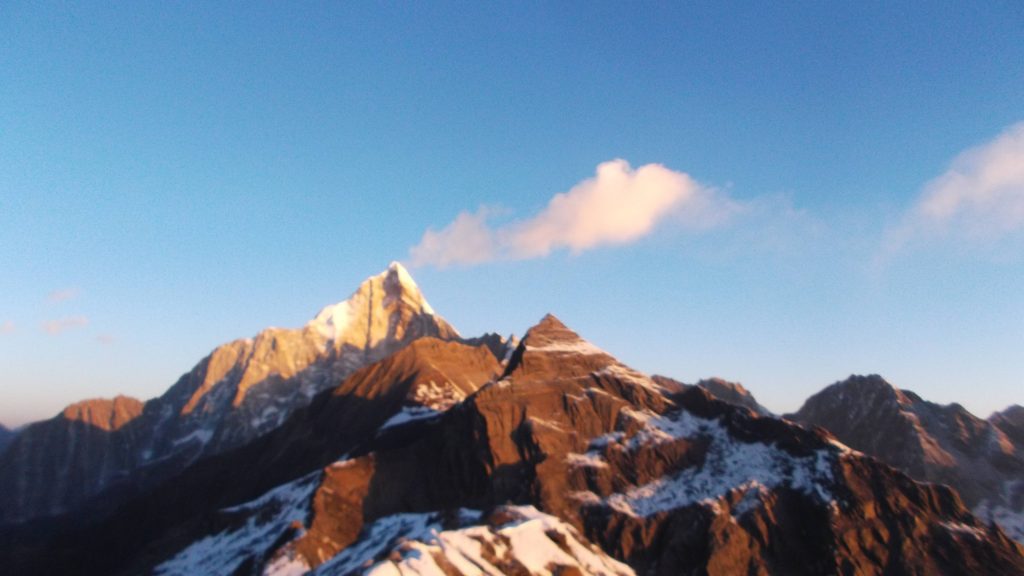
Route to DaFeng (Big Peak) of Mount Siguniang
Rilong—Haizigou—Shibanre—Dajianbao—Jipengzi—Dacao—Camp Site on the Peak
Climbing history
A great number of climbers do the climbing every year.
Climbing route of DaFeng (Big Peak) of Mount Siguniang
Day 1:
Chengdu—Wolong—Rilong town
In the morning: tourists gather from 7 AM to 8 AM at the door of the hotel and start the trip on Chengguan highway, finally arrive at Rilong town around 3 PM or 4 PM.
Accommodation: home stay in Mountain Siguniang
Catering: lunch and dinner
Altitude: 540 meters in Chengdu, 3100 meters in Rilong town
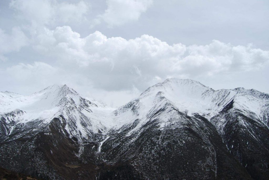
Day 2:
Rilong—2 km– Zhaijieping—1 km—Guozhuangping—3 km—Shibanre—3 km—Dajianbao—3 km-Jipengzi—3 km– Camp Site on the Peak
After breakfast, tourists go into Haizigo along the footpath, with the belongings carried by horse. Passing by Guozhuangping, Dajianbao, Jipengzi and Dacao, around 7 or 8 hours, tourist arrive at Camp Site on the Peak. Along the trip the scenery is mainly alpine meadows and shrub forest, tourists can clearly see our climbing routes on the camp site. In the afternoon we will arrange some adaptive training for you. Considering the path condition, tourists are supposed to have good endurance and stamina. Those who have bad physical condition should order horse (the expense paid by tourists themselves) in advance so that you can climb the top Peak.
Accommodation: Camping
Catering: Breakfast, road food and camping food
Time needed: 7 or 8 hours on foot
Altitude: 3100 meters in Rilong town, 4200 meter on camp site
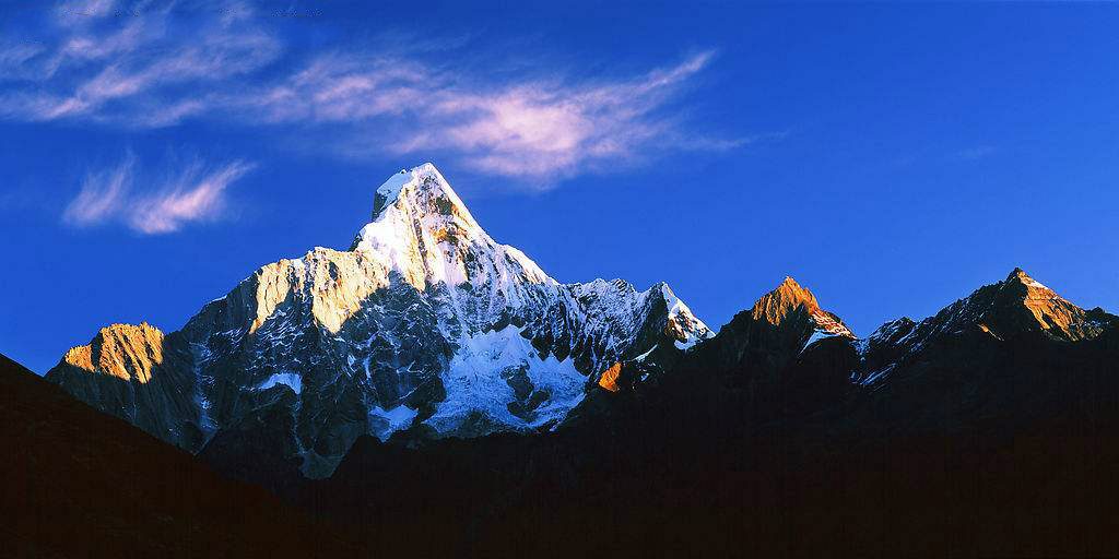
Day 3:
Camp Site on the Peak—8 km—climb to peak—8 km
Climbers should get up at 6 o’clock AM, and start the climbing at 6:30 AM. Those who are qualified according to their physical condition should climb to the peak with the help of the guider, about 3 hours later they can reach the peak. Climbers can take photos as souvenir and then return back the camp site by 1.5 or 2 hours.
Accommodation: camping
Catering:breakfast at site, road food, camping food
Time needed: 3.5 hours from the camp site to the peak, 1.5 or 2 hours from the peak down the camp site
Altitude: 4200 meters on the camp site, 5038 meters on the peak
Day 4:
Rilong—Wolong–Chengdu
-
DepartureRilong
-
Departure Timeconfirmed with travel adviser
-
Return Timeconfirmed with travel adviser
-
IncludedDomestic airfares, TrainsHotel accommodation with breakfastsMeals mentioned in the itineraryProfessional English-speaking guidesDrivers & air-conditioned vehiclesEntrance fees to tourist sites
-
Not IncludedInternational airfaresEntry Visa feesPersonal expensesTips or gratuities for guides and drivers
Similar Tours
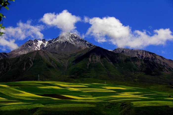
Nianbaoyuze Mountain Hiking Trekking Climbing Mountaineering Travel Tour
Joint region of province qinghai, gansu and sichuan
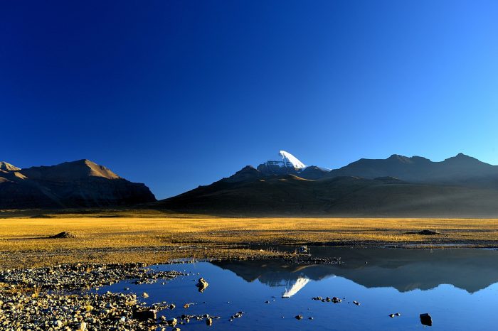
Oracle Lake Lhamo Latso Trek
Senior Tibetan monks of the Gelug sect go for visions to assist in the discovery of reincarnations of the Dalai Lamas
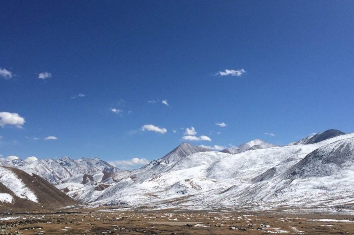
Qiongmugangri Peak Hiking Trekking Climbing Mountaineering Travel Tour
7048 M above sea level, belonging to Nyainqentanglha Range


