More Information
[email protected]
+86 28 8503 0959
Mon - Fri 9.00 - 18.00
Suzhulian Peak Hiking Trekking Climbing Mountaineering Travel Tour
The introduction of Suzhulian Peak
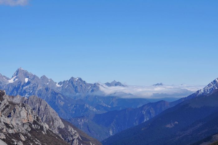
Located at Nanshan middle of Hexi Corridor, in Yugu Autonomous County of southern Gansu Province, Mount Suzhulian(means the shape looks like a string of beads) is also known as Mount Qilian. Mount Suzhulian starts from Honshuiba River in the west, stretches to Fengle River in the east, adjacent to the southern boundary of the watershed bridge of Yi Hexi Corridor. It is 38 km from east to west, and 50 km from south to north.
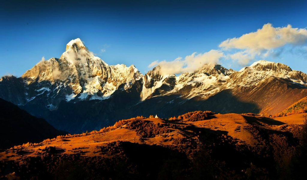
The reason why it is called Suzhulian is because there is large area of modern glaciers whose shape is like a string of beads. It belongs to North Qilian Caledonian fold belt. The average altitude is about 4700 meters to 4900 meters, but the main peak, located at the southern Hexi Corridor, is 5547 meters above sea level. This main peak is the block mountain belonging to NWW deep rupture. The mountains are rugged and the rock fort is towering. Horn peak, edge ridge, cirques, trough, ice threshold, moutonnee, ice terraces, ice shoulder, glacial lakes and other glacial terrain are widely developed, which is the source of Hongshuiba River, Yanglu River and Fengle River. Mount Suzhulian is in plateau semi-arid climate, with desert shrubs and mountain desert grassland at the northern slope of 1500 to 1800 meters above sea level, shrub steppe and mountain steppe zone of 1800 to 2500 meters, alpine meadows of 2500 to 3800, ice cold desert with alpine source of 3800 to 4500 meters, and snow and ice belt more than 4500 meters.
Climate Condition of Suzhulian Peak
Mount Suzhulian(素珠链峰) area is in plateau semi-arid climate, with the annual average temperature about 5 to 9 ℃. The rainfall around the area decreases from south to north, and annual precipitation of Qilian highland is about 300 mm, with a large amount of evaporation, usually between 2000 and 4000 mm. The time of sunshine is long and the temperature difference between day and night is obvious. It is hot in summer and cold in winter, usually with dry and windy day. The annual average rainfall is 84 mm, maximum of 158 mm, centering in the June to October, and the average number of rainy day is 62 days. The annual dominant wind direction is southwest wind, followed by east and northwest wind. The maximum wind speed is 26 m / s and the average wind speed is 2.3 m / s. The permafrost depth is 1.32 m under coldest weather, and usually the freeze period is in November to April next year. The average annual sunshine is 3056.4 hours, and the sunshine percentage is 69% on average, up to 78 percent in October.
Climbing Route
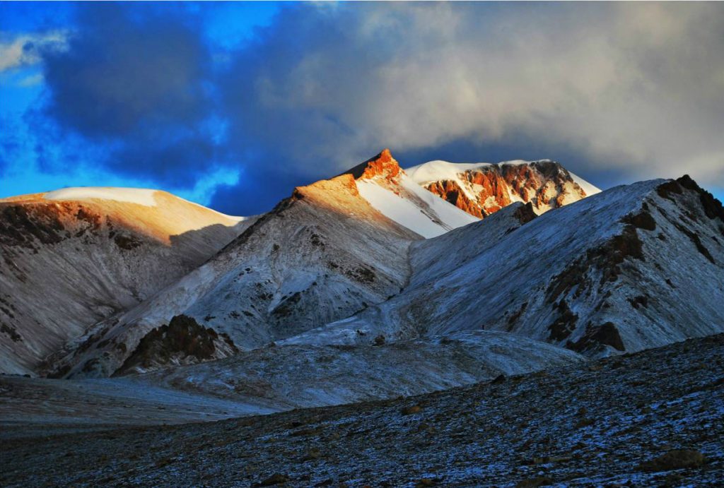
Tourists can take train from Lanzhou to Jiuquan, and charter a car from Jiuquan to the foot of Mount Suzhulian. C1 camp site is at the bottom of the saddle.
Climbing History of Suzhulian Peak
In 1985, 10 climbers of Chinese climbing team in Japanese Mountaineering Club have succeeded in climbing to the peak.
In 2009, 6 climbers of the united climbing team from Gansu province and Ningxia Autonomous Region climbed to the southern peak.
In 2009, Snow Leopard climbing team reached the peak, but the route and the number of climbers are unknown.
In 2011, all members of Jihua climbing team from Beijing University Eagle Club reached the northern peak.
-
Departure Timeconfirmed with travel adviser
-
Return Timeconfirmed with travel adviser
-
IncludedDomestic airfares, TrainsHotel accommodation with breakfastsMeals mentioned in the itineraryProfessional English-speaking guidesDrivers & air-conditioned vehiclesEntrance fees to tourist sites
-
Not IncludedInternational airfaresEntry Visa feesPersonal expensesTips or gratuities for guides and drivers
Similar Tours
Mount Xuebaoding Hiking Trekking Climbing Mountaineering Travel Tour
one of seven god mountains of Bon religion in Tibetan area


