More Information
[email protected]
+86 28 8503 0959
Mon - Fri 9.00 - 18.00
Bogda Peak Hiking Trekking Climbing Mountaineering Travel Tour
Introduction of Bogda Peak
Chinese Name: 博格达峰
Longitude: 88.40220
Latitude: 43.79660
Altitude: 5445
Climbing Season: July or August
Address: Fukang of Urumqi in Xinjiang Uygur Autonomous Region
Introduction of Bogda Peak
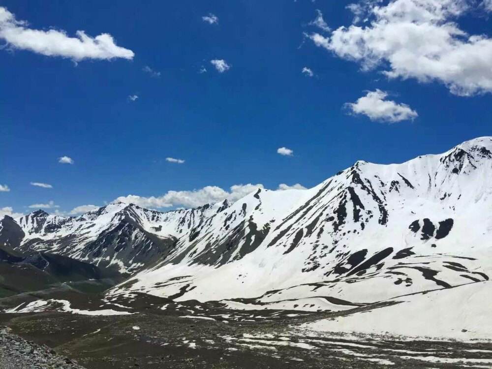
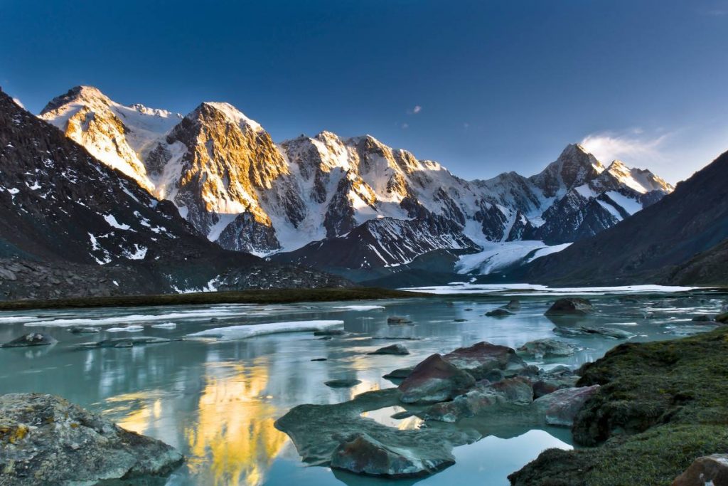
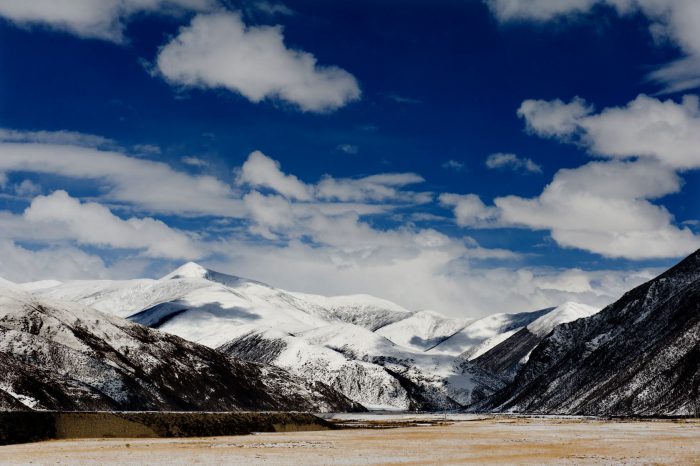
Bogda Peak is an offshoot of eastern Tianshan Mountains, starting from Urumqi fault and extending eastward to the territory of Balikun, length of over 300 km in total. The main peak, Bogda, 5445 meters above sea level, is 88.3 degrees of east longitude and 43.8 degrees of north latitude, located at Fukang County in Xinjiang Uygur Autonomous Region, which is the highest peak in eastern Tianshan Mountains. It is steep and magnificent, surrounded six peaks over 5,000 meters. Mount Bogda is constituted closely by three peaks (main peak of 5445 meters, Tuerparaty peak of 5287 meters, and Zhuwantielieke peak of 5213 meters) within 2.5 km, which is like the carriage. In the bottom and the middle of the mountain, there is exposed bedrock and steep rocks. The top of the mountain is covered by snow all year round, and the cliff hanging glacier is advantageous and exceptional.
Climate Condition of Mount Bogda
Bogda Peak is adjacent to Junggar Basin in the north and to Turpan Basin in the south, surrounded by the desert. The climate in piedmont is hot, and the medium and high mountain is humid and cold. Four seasons are not obvious. The coldest month is January, with monthly average temperature of -16 degrees C to -19 degrees C; the hottest month is July, with monthly average temperature of 10 degrees C to 12 degrees C. Annual precipitation is not more than 200 mm, and a great deal of rainfall centered in July and August, accounting for two-thirds of the annual precipitation. The period from late September to the end of May next year is snow accumulation period, with snow thickness reaching 65 cm, so it is very difficult to go into the mountain. There are little mountain winds, the annual average wind speed of 2.7-2.9 m / sec, and the wind speed increases in the afternoon a day, and the weather becomes bad. In a word, June, July and August each year is a good period for climbing, but the best period is from early July to mid-August.
Travelling Route to Mount Bogda
1: Tourists walk into the mountain 10 km from 3 forks, stay at camp site at alpine meadows with the altitude of 3100 m at night, and go to the base camp site at the altitude of 3520 m on Mount Bogda at noon next day. The whole trip is 15 km in total.
2: Tourists go into the mountain from east valley of Tianchi, 24 km in total.
Climbing History
The height of Mount Bogda is not so shocking, but the level of difficulty to climb is extremely high. The gradient of West Slope and South Slope is 60 degrees, but northwest slope is slight. Therefore, though foreign climbing team climbed the mountain before 1980, Japanese Tokyo Team of 11 people firstly succeeded in reaching the summit till June 9 in 1981. Chinese Mountaineering Association established a climbing training camp on Mount Bogda, to explore and climb mountains nearby. Urumqi Mountaineering Association reached the summit of Bogda in 1998, which was also the first success achieved by Chinese. And in 2006 and 2012, they climbed to the peak successfully again.
Climbing Route
So far, there are only northeast route to reach the summit: the base camp site (3520 m); No.1 camp site (4350 m); No. 2 camp site (4750 m); No. 3 camp site (also the key camp to climb to the summit, 5170 m).
-
Departure Timeconfirmed with travel adviser
-
Return Timeconfirmed with travel adviser
-
IncludedDomestic airfares, TrainsHotel accommodation with breakfastsMeals mentioned in the itineraryProfessional English-speaking guidesDrivers & air-conditioned vehiclesEntrance fees to tourist sites
-
Not IncludedInternational airfaresEntry Visa feesPersonal expensesTips or gratuities for guides and drivers
Similar Tours
Gangshika Peak Hiking Trekking Climbing Mountaineering Travel Tour
Heiking & Trekking in qinghai province
Mila Mountain (Mira Mountain) Hiking Trekking Climbing Mountaineering Travel Tour
border between the Lhasa Prefecture and the Nyingchi Prefecture


