More Information
[email protected]
+86 28 8503 0959
Mon - Fri 9.00 - 18.00
Muztagh Ata( Muztagata, Muztag Ata) Hiking Trekking Climbing Mountaineering Travel Tour
Introduction of Muztagh Ata(or Muztagata, Muztag Ata)
Longitude: 75.116272
Latitude: 38.275990
Altitude: 7546
Climbing Season: from June to August
Address: Kunlun Mountains on Pamir Plateau in Kashi, Xinjiang
Introduction of Muztagh Ata(or Muztagata, Muztag Ata)
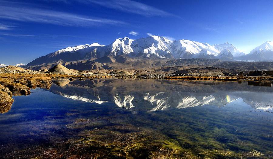
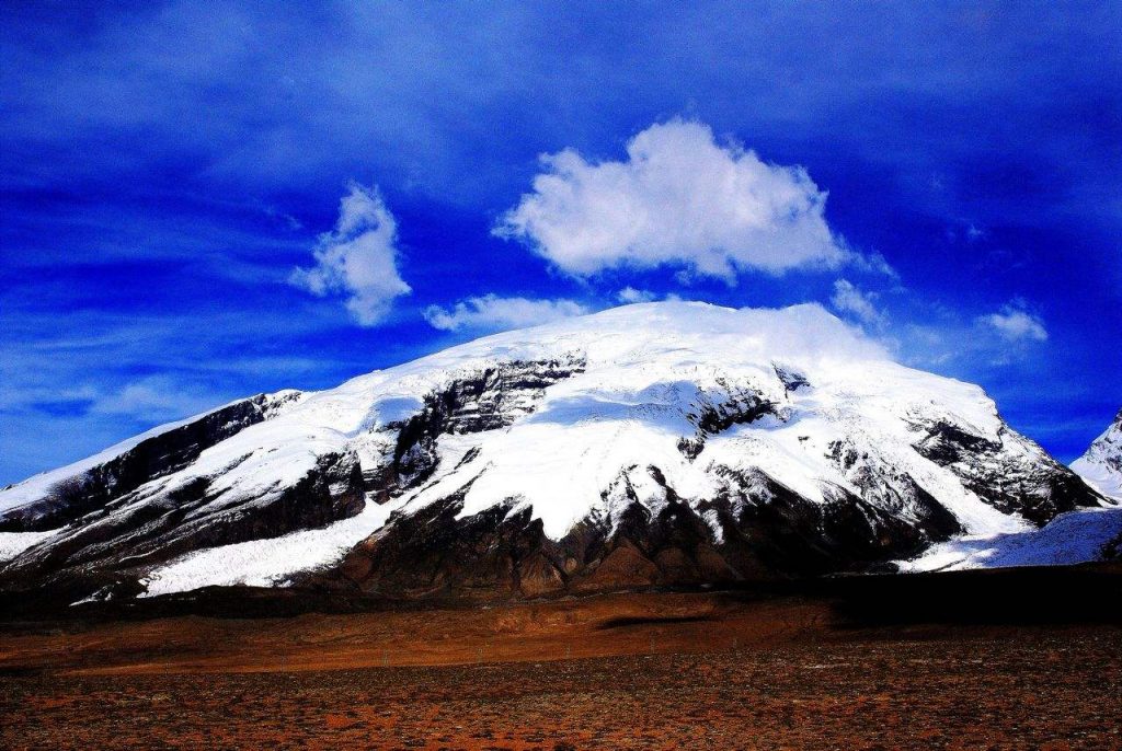
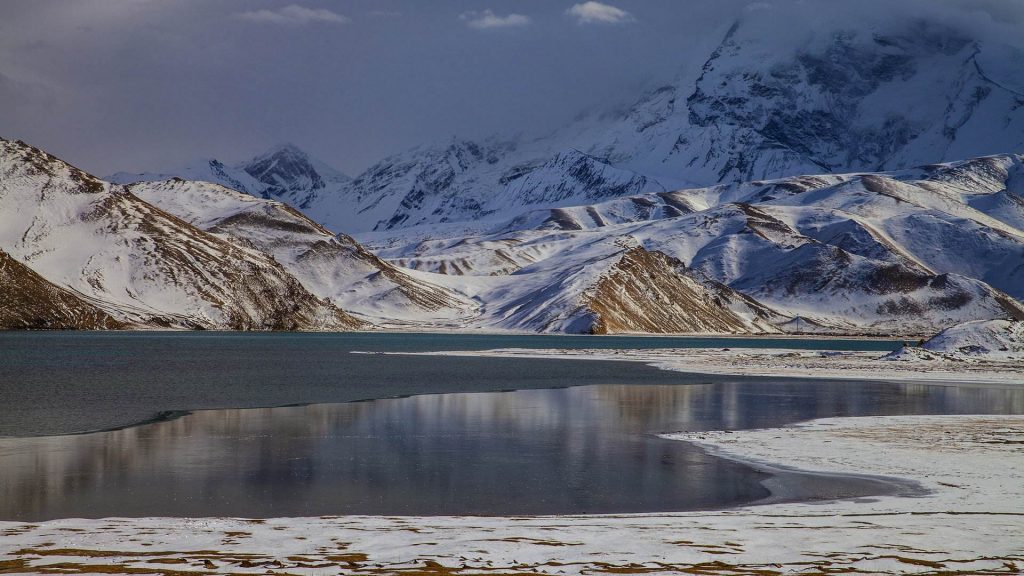
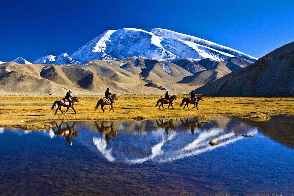
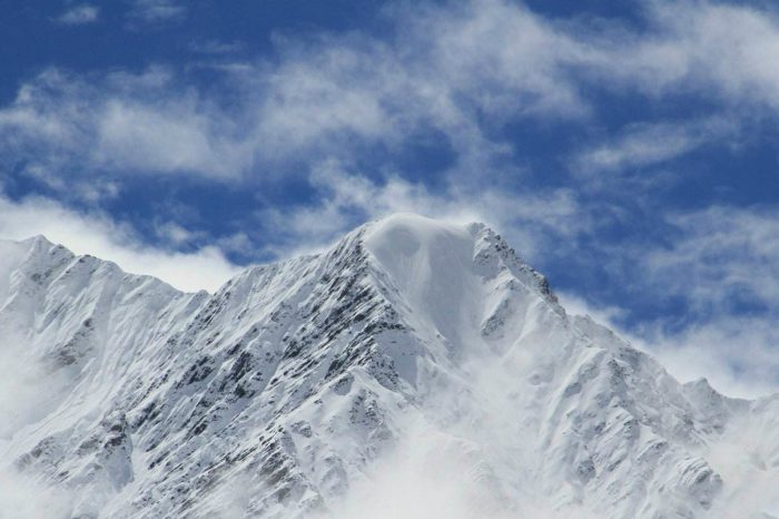
Due to the huge mountain body, Muztagh Ata(or Muztagata, Muztag Ata) is the third highest mountain in western Kunlun Mountains on eastern Pamir Plateau. Located in Xinjiang, covering the area of 275 square meters, 7546 meters above sea level, Muztag Ata is 75.1 degrees of east longitude and 38.5 degrees of north latitude. Muztagh Ata(or Muztagata, Muztag Ata) stands toweringly to the sky like an aggressive young man, but also like a white-haired old man to some extent. It is called “Muztag Ata” by local people, from which, “Muztag” means “ice mountain”, and “Ata” means “father” in Uygur language. The three mountains, Kongur Peak (7719 M), Kongur Jiubie Peak (7595 M) and Muztagh Ata(or Muztagata, Muztag Ata) rank in western Kunlun Mountains, which are called “Kunlun Three Mountains” and “Pamir Plateau Three Mountains”. Muztagh Ata(or Muztagata, Muztag Ata) has a round peak and the average ice thickness is from 100 M to 200 M, covered by snow all year round. The snow line is at around the altitude of 5200 meters. Due to the landform of ice mountain, there are 120 glaciers, among which Qili glacier and Kematule glacier cut the mountain body into two halves. Ice valleys and cliffs are as deep as 1000 M or 1500 M, the end of the glaciers of 4300 M above sea level.
The traditional route of Muztagh Ata(or Muztagata, Muztag Ata) are along west ridge and south ridge, especially south ridge is the most developed well, with a slight slope, which is the best choice for climbing lovers to climb 7000 M-level mountains. As a famous mountain for climbing, Muztag is also the highest mountain for skiing around the world in the eyes of High Mountain Skiers from Europe.
Climate Condition
The climate is very dry, and precipitation is mainly from high-altitude westerly airflow and moisture flow of the polar. In the area of the altitude of 7500 M, the average temperature is -20 degrees, -30 degrees of the lowest temperature, and the fastest wind speed is from 9 to 11 levels, usually around 7 levels. This area is characterized by changing weather, even in summer there could be windy and snowy days with temperature down to -20 degrees.
Travelling Route
Tourists can go into the mountain starting from Kashi, 204 KM from China-Pakistan Highway. The Base Camp is 8 KM from the highway and tourists can arrive at BC by SUV.
Climbing History
In 1670, Toromitchell from the UK explored this mountain.
In 1947, Simpton and Urman from the UK firstly tried to climb this mountain but failed.
In 1956, 31 climbers from United Team of China and Former Soviet Union managed to reach the summit successfully.
In 1959, 33 climbers from Chinese climbing team succeeded in reaching the summit, creating the female world record of climbing height.
Climbing Route
BC (4400 M)—gravel slope—ABC (5200 M, here is the area used for transferring livestock transport to human transport, usually frequented by stableman, but climbers can also take a rest here.)—C1 (5560 M, passing by icefall area)—C2 (6300 M)—C3 (6900 M)—snow slope—the summit
1, on June 22: tourists gather at Kashi (1340 M), and they would better arrive at Kashi as soon as possible for managing the Border Card in the afternoon. Arriving at Kashi, tourists should check in the hotel first and then go to manage Border Card. Tourists can experience the local culture, enjoy the craftsmanship and local flavor, visit Artemisia Gore Mosque and Xiangfei Tomb, and appreciate the concise and simple Islam culture.
2, on June 23: Kashi—Taxkorgan. 7 hours of car driving needed, tourists arrive at Tajik Autonomous County after passing by Carlacurry Lake and 204 Camp. They stay in hotel, experience culture of Pamir Plateau and enjoy Tajik eagle dance.
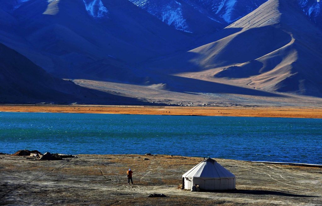
3, on June 24: Tajik County—Subashi—BC. Tourists can take a bus to Subashi and walk around 4 or 5 hours to BC (4430 M).
4, from June 25 to July 9: climbing period.
5, on July 10: BC—decamp—return to Kashi
6, on July 11: parting with other climbers and finishing the climbing.
This activity needs 20 days or so. During the climbing period, according to the weather condition, climbers’ situation and other factors, the guide has the right to adapt the schedule and climbing plan, to make climbers surly safe and successfully reach the summit.
Climbing Plan
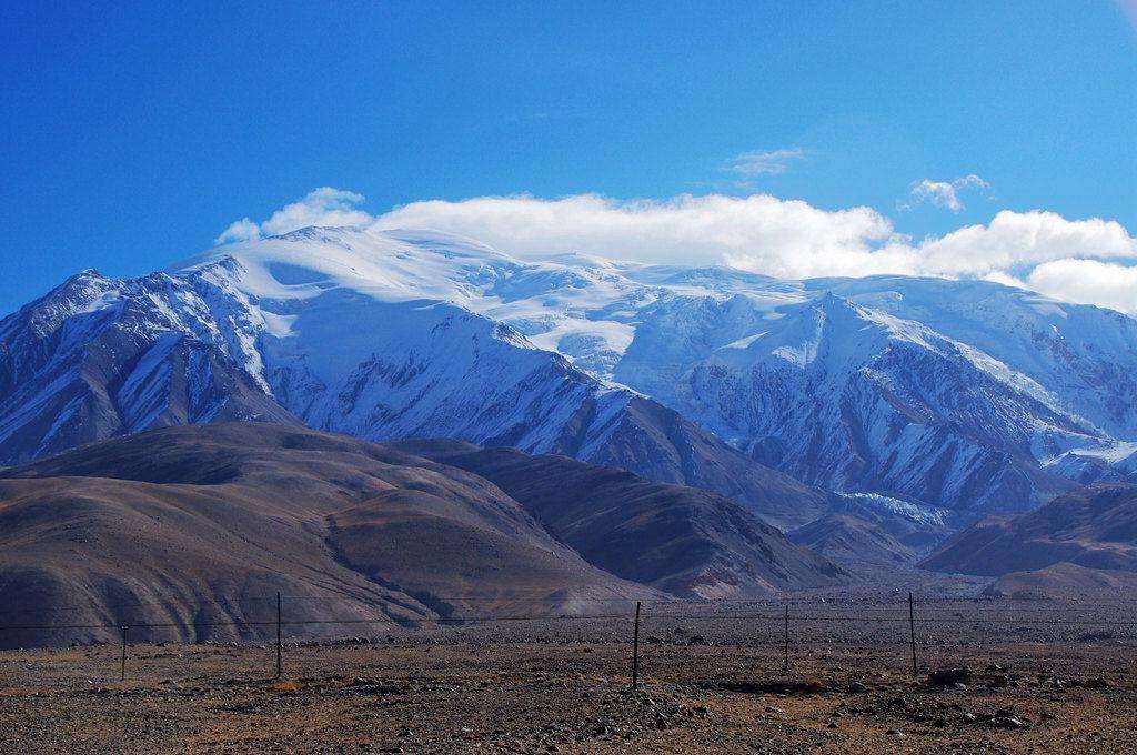
Day 1: BC—C1—BC, tourists climb to C1 from BC, do short adaptive training and return BC (4430 M)
Day 2: to rest and adapt the altitude at BC, accommodation in tent at night
Day 3: BC—C1, accommodation in tent
Day 4: C1—C2 (6200 M), accommodation in tent
Day 5: C2—C1—BC
Day 6: to rest and adapt the altitude at BC
Day 7: ready to climb to the summit after adaptive training
Day 8: BC—C1
Day 9: C1—C2
Day 10: C2—C3 (6900 M)
Day 11: C3—TOP—C2
Day 12: C2—BC
Day 13 to Day 15: time for adaptation
Food Plan:
In order to secure climbers’ physical status and safety, we provide a great deal of meat, vegetables and fruits to make sure climbers’ nutrition and physical backup. All food are provided and assigned by the association team and cooked by professional high-altitude chef, who can also offer abundant tradition cuisine, instant food, fruits and snacks (people with particular needs should bring stuff themselves.). To provide the high quality service of international high mountain climbing, we will offer the separate dining tent at BC, equipped with tables and chairs, drinkable hot water, snacks and drinks all day.
Charges Standard:
Ordinary: CNY 38000 (at the rate of 1:3 by association team to customer)
Luxury: CNY 54000 (at the rate of 1:1 with association service)
Charges including:
Registration fee for the mountain and the climbing team, insurance fee, transportation fee, accommodation fee on road and on mountain, training fee, teaching fee, environmental protection fee, high-mountain association fee, logistics fee, and all accommodation fee during the period from the beginning to the end.
Necessary individual equipment:
One backpack of over 65 liters; one care package (80 liters); one pair of double high-mountain boots (here is a discount for Sichuan and Tibetan team if they want to buy; they can also rent boots, CNY 800, but limiting of numbers and sizes); one snow board (the rent is CNY 500); one gaiter; a suit of technical jacket; a suit of down coat (special discount for customers of Sichuan-Tibet if they want to buy the brand of Shehe); a suit of fleece clothes; two sweat underwear; a pair of down gloves (free one of Shehe brand for Sichuan-Tibetan team); a pair of windproof gloves (as substitute); 4 pairs of fleece socks or coolmax; two snow goggles (one used for substitute); one fleece cap; a pair of ski poles; one insulation pot of one liter; a set of personal dining tools; one headlamp; two wetproof mats (one used for BC, better be air cushion mat; the other one used for high-altitude camp, better be bubble mat); down sleep bag of 1400 grams used under f-45 degrees (used on mountain); one sleep bag used under -10 degrees (used at BC); one sealed potty (good seal); one sunscreen; one lipstick. All equipment mentioned above should be brought by climbers themselves.
Public equipment provided by association team:
High-altitude tents; cooking tents; rest tents; toilet tents; GPS; ropes; pans; stoves; oxygen jars; medicine; snow cone; knives; walkie-talkie; tables; chairs; oxygen and pressure chambers; cameras and other stuff
Requirements for registration:
1, Nice physical condition; no any Cardio-cerebral, blood vessels and pulmonary diseases or other diseases not suitable for high altitude activity; experienced skiing skills; stable mind. Team spirit is required.
2, having experience of snow-capped mountains at the altitude of over 5000 M
-
DepartureKashi
-
Departure Timeconfirmed with travel adviser
-
Return Timeconfirmed with travel adviser
-
IncludedDomestic airfares, TrainsHotel accommodation with breakfastsMeals mentioned in the itineraryProfessional English-speaking guidesDrivers & air-conditioned vehiclesEntrance fees to tourist sites
-
Not IncludedInternational airfaresEntry Visa feesPersonal expensesTips or gratuities for guides and drivers
Similar Tours
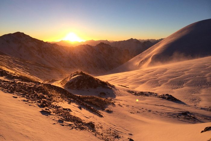
Suzhulian Peak Hiking Trekking Climbing Mountaineering Travel Tour
Qilian Mountains in Gansu Province
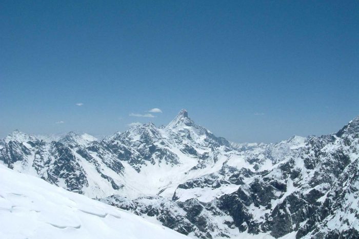
Ao taina(Aotaina) Hiking Trekking Climbing Mountaineering Travel Tour
Suitable for those who have no experience in multi-days mountain trekking to above 4000m but requires excellent physical fitness
Nochma Peak(Nama Peak) Hiking Trekking Climbing Mountaineering Travel Tour
Relative easier one among all the peaks towering above 5500 meters in Minya Konka region.


