More Information
[email protected]
+86 28 8503 0959
Mon - Fri 9.00 - 18.00
Xuejian Peak Hiking Trekking Climbing Mountaineering Travel Tour
Introduction of the Xuejian Peak
Longitude:78.00°
Latitude:49.60°
Altitude:5203m
Climbing season: June to November
Address:Mengtunhe Valley, Li County, the Aba Tibetan and Qiang Autonomous Prefecture
Mountain Introduction
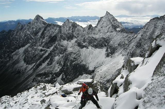
In the north of Sichuan Province stands the Xuejian Mountain, deep in the tourist scenic spots in Mengtunhe Valley of Li County in the Aba Tibetan and Qiang Autonomous Prefecture. Opposite to the Xuelongbao Mountain, the Xuejian Mountain is 32 kilometers away from the local government of Shangmeng Country and over 260 kilometers away from Chengdu in Sichuan Province. It takes one day to depart from Chengdu to Shangmeng Country , from which it takes 2 days to reach the end of the Polar Trench (base camp). The mountain, with convenient transportation , is about 5203 meters above the sea level .
Climatic Conditions
The area where the mountain stands is on the edge of the eastern Qinghai Plateau and in the transition zone in Chinese territory from the second step(Yunnan – Guizhou Plateau) to the third step(Qinghai Plateau). Featured with typical sub-plateau cutting landscape and climate, the region is covered by thick forests, surrounded by mountians and lakes, and crisscrossed with gullies and vallies.
The climate is changeable in the well-watered mountain area with frequent rainfalls and snowfalls. It is not easy to know weather period well and glaciers are not very stable. The temperature is lower in winter due to heavy snows.
Entry Route of Xuejian Peak
The places are well close with each other, so it takes 2 days at least or 3 days at most to reach the base camp.
Climbing History of Xuejian Peak
There is no record on the climbing of the Xuejian Mountain.
Climbing Route
D1: Chengdu–Shangmeng Country (2090meters above the sea level)
First assemble and pack equipment. Then, distribute personal equipment and contact porters, inns for accomodation.
D2: Get up at 7:00, and then pack up. All the public and personal objects, tents and technical equipment will be transported to the mouth of Muchang Gully by tractor. The porters are charge for the rest journey (public objects are transported by man power) . The journey is hard, but the scenery is beautiful.At about 5:00 PM, we will reach Laozuopeng at Baiyang Gully (about 3000 meters above the sea level) , wooden shack for accommodation.
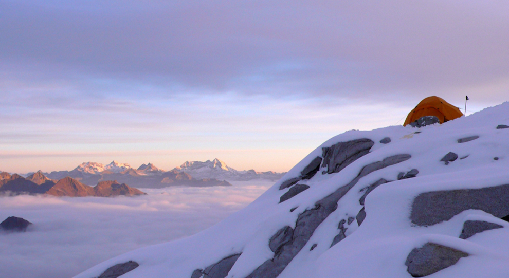
D3: After breakfast, we will leave for BC area (about 3700 meters above the sea level). There are quite a few rocks along the journey from Laozuopeng to BC area, so watch your steps, but please don’t use any protection tools or group a roped-up team.
We will arrive at BC area at 3:00 PM, and then set up base camp, check the equipment for the last time, pack up bags and have a rest.
D4: We will depart from BC area up to alpine meadow zone, which is about 3800 to 4100meters above the sea level. One step up enters the snow-ice stage where we will set up c1 area (about 4300meters above the sea level)
D5: The team will get up early and set off. Then, we will group a roped-up team into the glacier region, traverse crevasses, climb over snowy slopes. After crossing glaciers, we will set up c2 camp site about 5100 meters above the sea level.
D6: We will scale the peak at 5:00 AM. The team members will rope up with each other or have a leading climbing. The route to the peak mainly contains ice rocks, icefalls and cornices.Then, we will get down to c2 or c1 area.
D7: Get down to Mengtunhe Valley
D8: Mengtunhe Valley to Chengdu
-
DepartureChengdu
-
Departure Timeconfirmed with travel adviser
-
Return Timeconfirmed with travel adviser
-
IncludedDomestic airfares, TrainsHotel accommodation with breakfastsMeals mentioned in the itineraryProfessional English-speaking guidesDrivers & air-conditioned vehiclesEntrance fees to tourist sites
-
Not IncludedInternational airfaresEntry Visa feesPersonal expensesTips or gratuities for guides and drivers
Similar Tours
Banji Peak Hiking Trekking Climbing Mountaineering Travel Tour
In Bipenggou Valley locates at the Aba Tibetan and Qiang Autonomous Prefecture of Sichuan Province
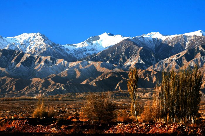
Mount Qilian Hiking Trekking Climbing Mountaineering Travel Tour
Trekking & hiking in qinghai province


